
Geography is the subject which holds the key to our future.
Michael Palin
Geography is the study and revision of physical features of the Earth and its atmosphere; the three major branches of geography are Human Geography, Physical Geography, and Environmental Geography.
When studying an academic discipline that features much intricate terminology such as geography, it is recommended to use glossary. Geographical terms refer to words or elements of language employed within the field of geography. Typically, such terms are rooted in or derived from the natural characteristics of a specific region. To illustrate, topography, latitude, and climate are all frequently encountered geographical terms.
Without further ado, Superprof has lovingly created a glossary of the most essential geography terms for budding geographers.


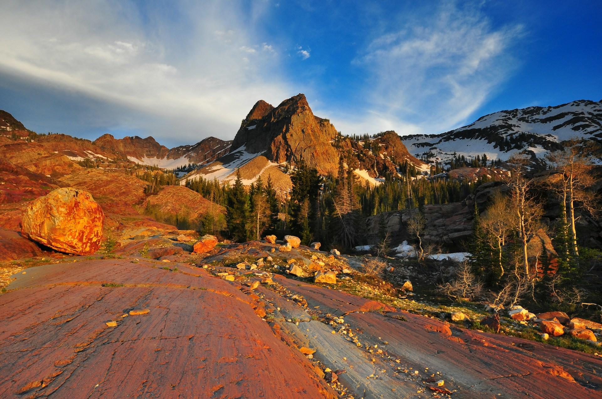
Geographic Glossary Terms from A-F
To increase the ability to recall essential definitions from geography, the following are the most common geographic terms from the letters A to F.
A glossary is an alphabetized list containing essential terms and definitions from a specific field of study.
Altitude: the vertical height above the sea level.
Aquifer: a natural underground layer of rock or sediment that stores water and allows it to flow, often tapped for drinking water.
Archipelago: a group of islands such as the Galapagos or Hawaii.
Atmosphere: defined as an envelope of air, gases, and suspended articles surrounding the earth; 78.09% nitrogen, 20.95% oxygen, and 0.96% consisting of 19 other gases.
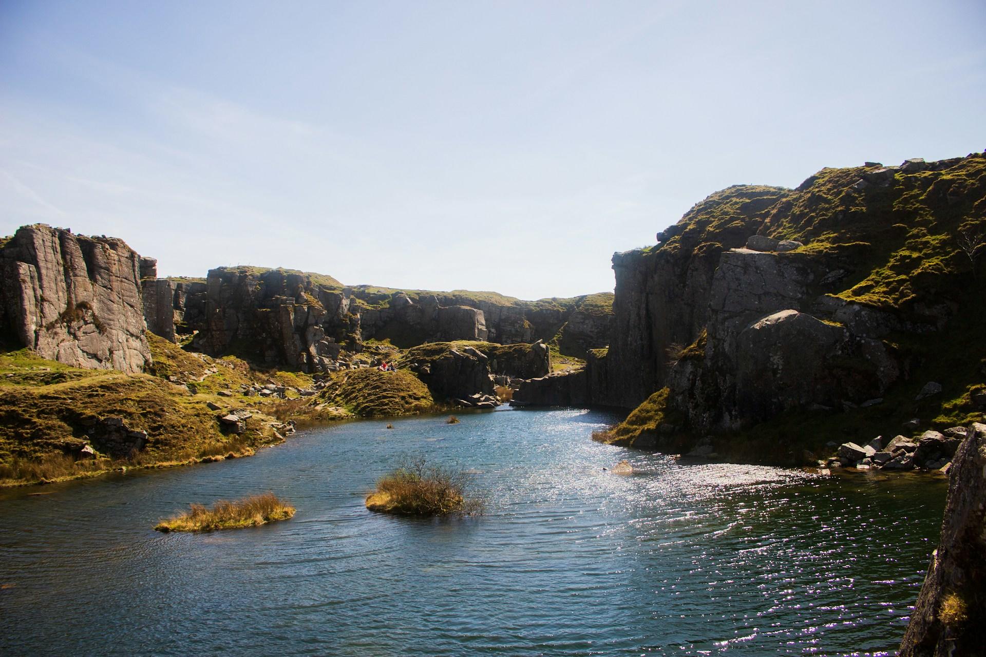
Basin: a low-lying area on the Earth's surface, often surrounded by higher land, where water collects or flows into a river system.
Biogeography: the geographic study of the distribution of animals and plants on the planet.
Biodiversity: the assortment of species, flora and fauna, found in a specific area.
Biofuel: a fuel that is derived from living or natural matter; gas, alcohol, and dead biological materials are known as biofuel.
Canyon: a deep valley with steep sides, often carved by river erosion, such as the Grand Canyon in the United States.
Cartography: the art of making maps or mapping.
Climate Change: known as the variation of climatic conditions and the result of new weather patterns that are distinct from past decades. Here's an introduction video on climate change and why it is important!
Continental Drift: the gradual movement of Earth's continents over geological time due to plate tectonics.
Conservation: the act of maintaining natural or human-made landscapes just the way they are, without any changes.
Deforestation: the malicious act of cutting down trees and clearing forests for human use.
Delta: a triangular plain at the end or mouth of a river where the soil is deposited.
Drought: a prolonged time with less than average rainfall which can negatively affect living conditions.
Ecosystem: known as a biological community of interacting organisms and their physical environment working together and interacting as one whole system.
Environment: it is everything that is around us; all living or non-living things occurring naturally and coexisting together.
Erosion: the process by which natural forces such as wind, water, or ice wear away rocks, soil, and other surface materials. Learn more thanks to this YouTube video on erosion!
Estuary: a coastal area where freshwater from rivers mixes with saltwater from the ocean, creating a unique ecosystem.
Evaporation: the process of water turning into vapor is known as evaporation.
Fauna: all the animal life present in a particular region or time. Typical fauna of Bolivia includes the alpaca, the Andean flamingo, and the capybara.
Flora: the plants of a specific region, geographic location, or geological period. For example, the Scotch Thistle, the Bog Myrtle, and the Gorse is all typical flora of Scotland.
Fossil Fuel: a natural fuel such as gas or coal; it is a fuel source that is formed by natural processes or organisms that have existed for millions of years.
Did you that geography has five themes?
Geographic Glossary Terms from G-M
The following definitions begin with the letters G, H, I, J, K, L, and M and aid geography students to remember essential terms.
Geothermal: a source of heat that originates from the Earth.
Glacier: a large, slow-moving mass of ice formed from compacted layers of snow, found in polar regions and high mountains.
Global Warming: a gradual increase in the Earth's temperature that has constantly been discussed by environmentalists in recent years. The entrapment of greenhouse gases causes global warming.
Greenhouse Effect: a complex phenomenon when the gases in the Earth's trap the solar radiation as a consequence of atmospheric carbon dioxide, water vapor, and methane.
Habitat: the area or region where a species of animals or plants reside.
Hemisphere: half of a sphere and since the earth is a sphere it means half the earth. The earth is divided by the equator into two hemispheres: the Northern and the Southern. The eastern and western hemisphere can also be divided by the meridian.
Humidity: the damp heaviness in the air is known as humidity. It is the result of the water vapor content in the atmosphere.
Ice Sheet: massive layers of ice covering an extensive area that is superior to 50,000 square kilometres. Ice sheets can currently be found in Antarctica and Greenland.
Inorganic: someone that does originate from natural matter; can be known as inanimate, lifeless, or extinct.
Irrigation: a well-engineered manner of watering agriculture is known as irrigation.
Isthmus: a narrow strip of land connecting two larger landmasses, often with water on either side, such as the Isthmus of Panama.
Jet Stream: an airstream having a high-velocity and high-altitude which blows from the west to the east.
Katabatic: a wind that is commonly known as a drainage wind that carries high-intensity air from an elevated point down a slope with the forces of gravity.
Lagoon: a body of water that lies between a reef and a coastline, usually protected by conservationists.
Landslide: not just a famous song recorded by Fleetwood Mac, a landslide is the sliding down of a mass of earth or rock from a mountain or cliff. Here's a YouTube video on landslides!
Latitude: imaginary horizontal lines on the Earth that are utilised to specify the north or south position of a coordinate on the Earth's surface.
Longitude: imaginary verticle lines used to determine exact geographic coordinates that run along the eastern and western hemisphere of the earth.
Magma: molten rock that is below the surface of the earth; found in the mantle or crust of the planet.
Meteorology: a subbranch of physical geography that involves the study of the atmosphere.
Monsoon: a prevailing seasonal wind that occurs during two seasons: summer (wet monsoon) and winter (dry monsoon).
What are the distinct types of geography?
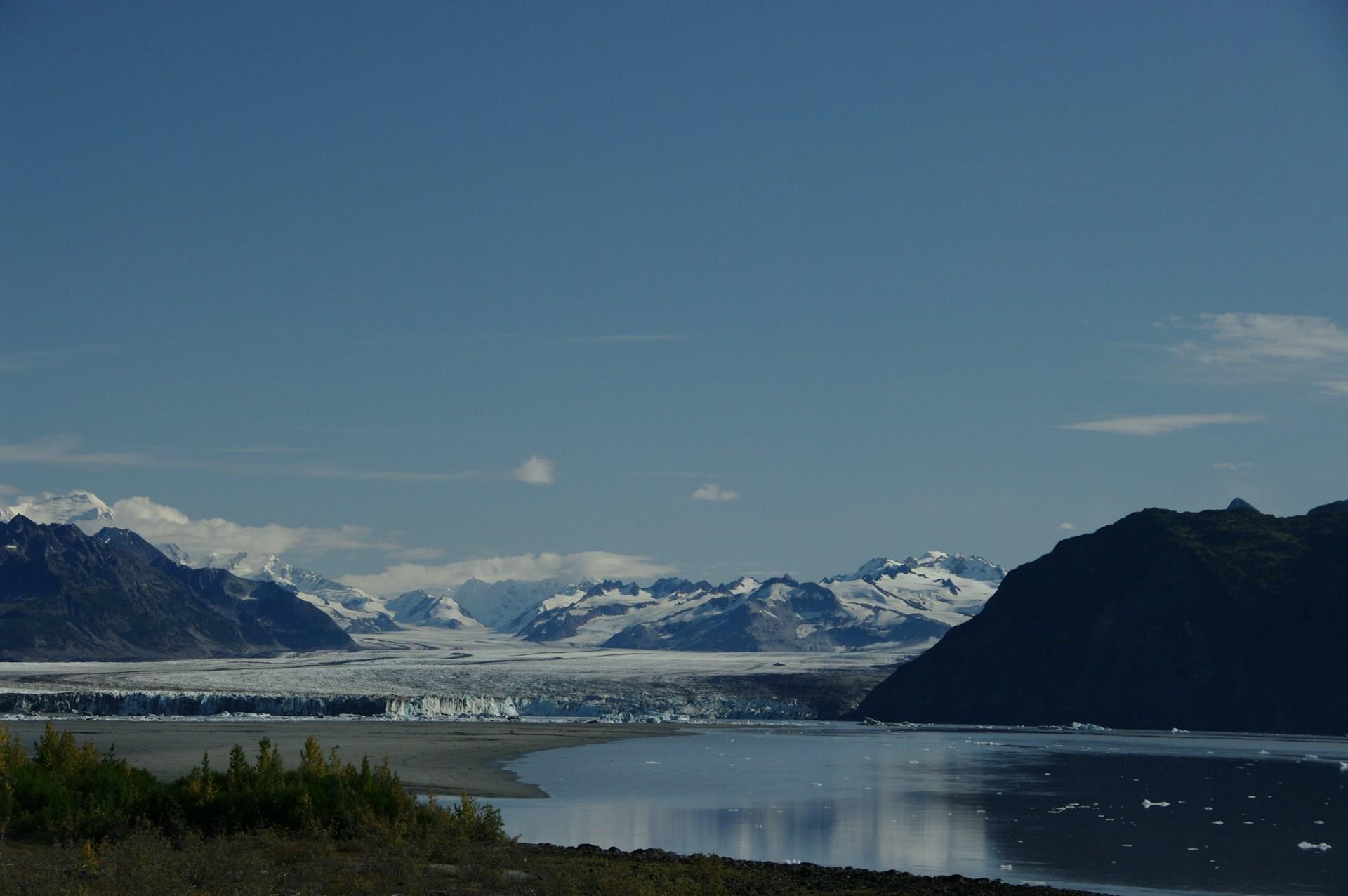
Geographic Glossary Terms from N-S
Want to know common geography expressions that start with the letters, N, O, P, Q, R, and S? The following provides the necessary information.
Natural Resources: substances that occur naturally in nature and have a commercial value.
North Pole: the point on the Northern Hemisphere of the earth that is farthest North; 90 degrees North of the equator.
Oasis: a fertile watering hole in a geographically arid place such as a desert. It is formed since there was water previously present in the specific area.
Ocean Current: the flow of ocean water in a defined direction.
Omnivore: not a herbivore and not a carnivore, omnivores refer to animals or people who indulge in both plants and meat.
Permafrost: ground that remains completely frozen for two or more years, commonly found in polar and subpolar regions.
Pesticide: chemical substances used to exterminate pests or insects and prevent their infestation.
Physical Weathering: also commonly known as mechanical weathering, is the breaking down of rocks by natural agents such as wind and running water.
Plateau: a large area of flat and relatively high ground.
Quarry: an open-air mine from which rocks and minerals can be extracted.
Ravine: narrower than a canyon and the product of stream cutting erosion; usually very narrow and quite deep.
Renewable Resources: a natural resource that is naturally restorative that is more than the rate of human consumption. Examples include geothermal energy, hydroelectricity, and solar power.
Run-off: a term used for water from rain or melting snow that does not get absorbed into the soil.
Sandbar: a long and narrow sandbank that is usually located near the mouth of a river. It is built by the action of tides, currents, and waves.
Savanna: tropical grasslands with scattered vegetation primarily located on the African continent.
Seismology: a branch of geology that focuses on the study of earthquakes and the movement of waves through Earth's crust. Want to know more?
Stratosphere: part of the earth's atmosphere that lies below the mesosphere and the troposphere. It is located from 10kms to 50kms above the surface of the earth.
Check out our articles about geography facts!
Geographic Glossary Terms from T-Z
Topographic Map: a large-scale map that represents both natural and man-made two-dimensional surface features.
Toxic Waste: waste material that is composed of chemical compounds which can cause serious illness or death if inhaled or consumed.
Tundra: a vast and treeless region located in the Arctic and subarctic regions of the world such as Green, Europe, and North America.
Urban Climate: the current climate condition of a large metropolitan area that is different from the climate experienced in rural areas.
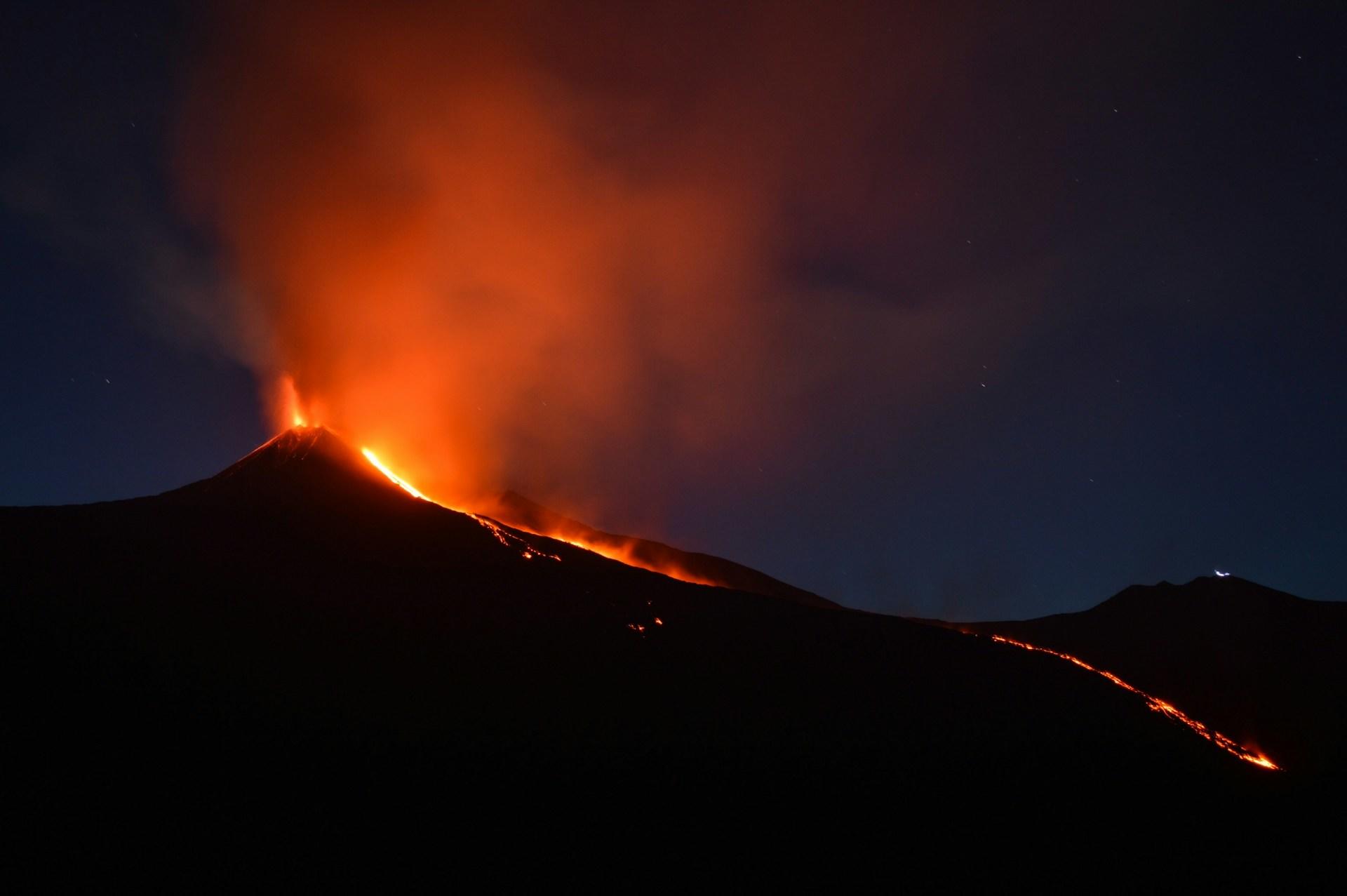
Vent: a pipe like opening in the earth's crust that directs the flow of volcanic material.
Volcano: a landform or mountain that through which lava, rock fragments, hot vapor, and gas erupt from the earth's crust.
Wadi: an Arabic term for a valley or ravine located in the Middle East or Northern Africa. It remains dry all year except for during the rainy season.
Waterlogged: an object is heavily filled with water; it seems to be heavy or unmanageable.
Wilderness: a wild and uncultivated region such as a forest or a desert; no one lives there, it is only inhabited by wild animals.
Wind Erosion: the erosion of material caused by the action of wind.
Yield: in geography, the term yield refers to produce by a natural process or in return for cultivation. For example, a farmer's yield of corn varies from year to year.
Zeugen: a mushroom-shaped rock that has been eroded by the intense action of windblown sand. Mostly found in deserts all over the world.
geographical terms that exist in textbooks or resources today!
There you have it geography enthusiasts, 60 plus of the most common geography words and definitions that should be referred to when studying geographic information; we all forget sometimes and well-organized glossaries aid our memory to recall essential facts and explanations.
Nevertheless, even with a failing memory, it is important to recall that geography rules!
A Few Great Geography Glossaries to Keep in Mind!
For geography enthusiasts, having a reliable glossary book is essential to mastering terminology and concepts. Some of the best resources include The Dictionary of Physical Geography by David S.G. Thomas and Andrew S. Goudie. The offer comprehensive definitions and illustrations of physical geography terms.
Oxford Student’s Dictionary of Geography is an excellent choice for students, presenting terms in a concise, easy-to-understand format. Another standout is The Routledge Handbook of Key Concepts in Geography, which digs deeper into advanced topics. These books are invaluable tools, offering clarity and enhancing understanding of complex geographical ideas and phenomena!
Craving for more? Check out these famous geographers!
Summarize with AI:
Did you like this article? Leave a rating!


Excellent article. All the relevant info in a nutshell. As a very senior educationist I must commend your effort for bringing this utterly vital subject so close o kids understanding!
this is great for beginners
Informative
tru
This resourceful thanks